


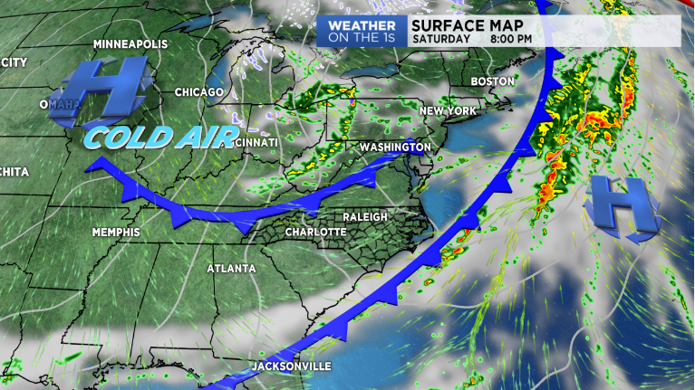
A cold front moving in Saturday will bring a round of spotty showers to the area followed by yet another shot of cool, dry air. This round, in fact, should be even cooler than the one we had move in earlier this week, leading to the potential for our first widespread frost early Monday morning.
Friday will be a tad warmer than Thursday with highs reaching to near 70s degrees under sunny skies. Clouds will increase from west to east overnight as the aforementioned cold front approaches from the west, with showers expected to move in across the Blue Ridge by early Saturday morning.
Because of the fast moving nature of this front, the showers should only last until early in the afternoon, with clearing behind it expected by about 2 to 3 p.m. across even the most southern zones of the Piedmont.
Behind the front, winds will pick up in the mountains by late Saturday night as temperatures begin cooling quickly. A few upslope snow flurries may even be possible on the western slopes of the northern North Carolina mountains by Saturday night!
Sunday will be chilly, as many should only manage to reach into the 50s for highs across the Piedmont with blustery conditions continuing in the mountains. Monday is set to feature the coldest morning we've seen since late April as temperatures plummet into the 30s for the Piedmont and below freezing for the mountains. Due to this, we'll likely see our first widespread frost of the season if winds remain calm enough! A freeze will be likely in the mountains. It's time to start thinking about taking in those sensitive plants!