


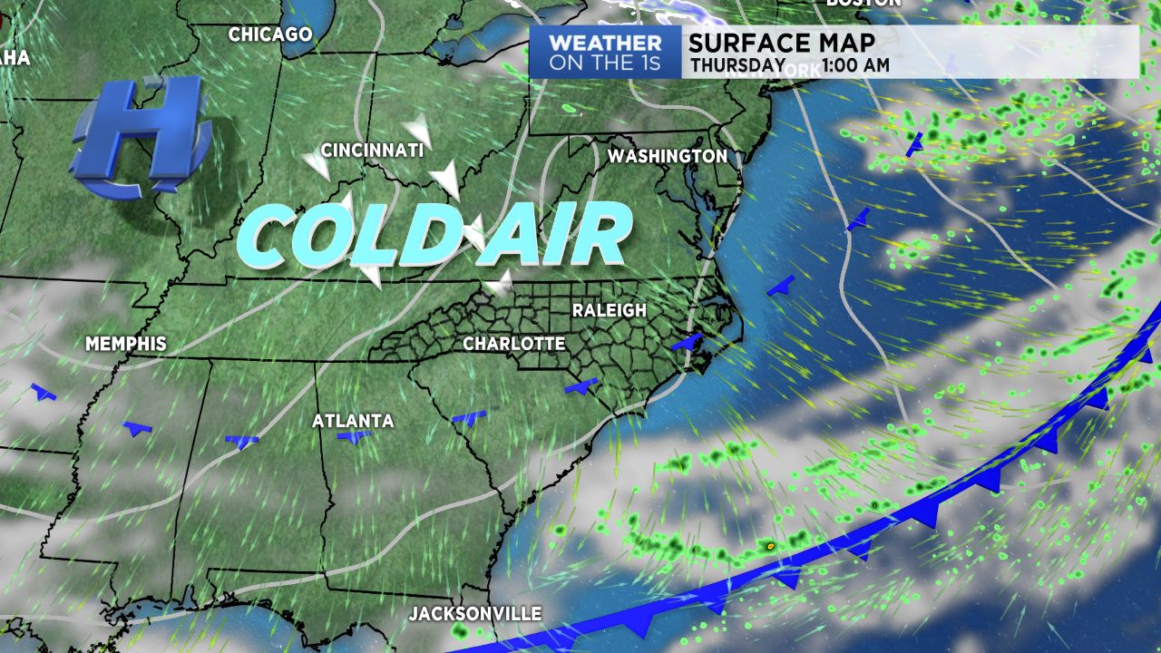
WILMINGTON, N.C. -- A cold front continues to drop south Wednesday, taking the cloud cover and rain with it. Behind the front, we'll feel drastically cooler air move in, with below average temperatures lining up for the next several days.
- Thursday morning, lows should bottom out in the low to mid 50s overnight
- Expect a beautiful stretch of cool but sunny weather Thursday and Friday
- Friday morning will be one of the coldest mornings we've seen in a while as lows are anticipated to cool
Clearing across the Wilmington/Cape Fear region not expected until late this evening as drier air moves in from the north. With clear skies anticipated by Wednesday night, cold air moving in coupled with radiational cooling will allow for drastically cooler temperatures Thursday morning. Lows should bottom out in the low to mid 50s overnight.
Expect a beautiful stretch of cool but sunny weather Thursday and Friday. Temperatures will be below average as highs only manage to reach into the low and mid 60s to near 70 degrees along the coast. Friday morning will be one of the coldest mornings we've seen in a while as lows are anticipated to cool into the mid and upper 40s!
Another cold front is set to pass through Saturday, bringing us an additional round of showers. Behind that front, expect yet another shot of cold dry air that will move into the area for next week. Looks like Fall is here to stay!