


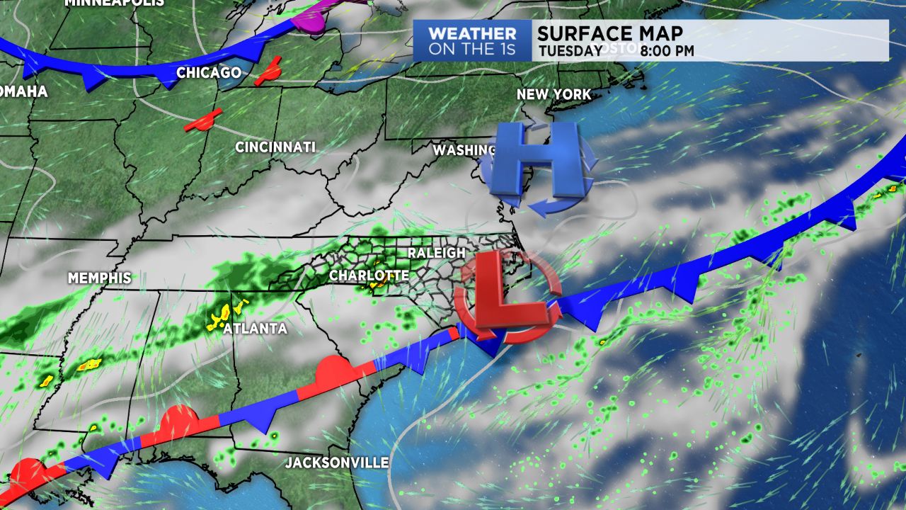
CHARLOTTE, NORTH CAROLINA -- A cold front will slowly push southward through North Carolina Tuesday, bringing us an increase in rain chances and warm, muggy conditions ahead of it.
- Rain chances will increase as a cold front push through.
- Cooler, drier air will end the work week after the front pushes through.
- Temperatures will be nearly 10 degrees below average for Thursday.
Cooler and drier air will move in behind it to end out the work week, with temperatures expected to drop to nearly 10 degrees below average Thursday.
Expect a day of mainly cloudy skies Tuesday with scattered showers expected to move in late this afternoon and into this evening. Temperatures will be warm ahead of this front, with highs topping off in the low to mid/upper 70s across the Piedmont and low to mid 60s in the mountains. A few showers will persist into the overnight hours as the front moves to the southeast of our area.
Conditions will begin improving for the mountains and areas north of I-40 Wednesday morning as skies clear out behind the cold front. Sunshine will increase from north to south throughout the day as winds turn to the north. By Thursday morning, we'll really feel the cool down! Temperatures will drop into the mid 40s in the Piedmont and just a few degrees above freezing in the mountains! Highs through Thursday and Friday will remain in the upper 50s to low/mid 60s. Time to dig out the fall jackets!