


Two cold fronts will move through the Carolinas this week and bring cooler, drier air masses in behind each.
Our first cold front will move in Tuesday with a second, and perhaps stronger, front set to move in Saturday.
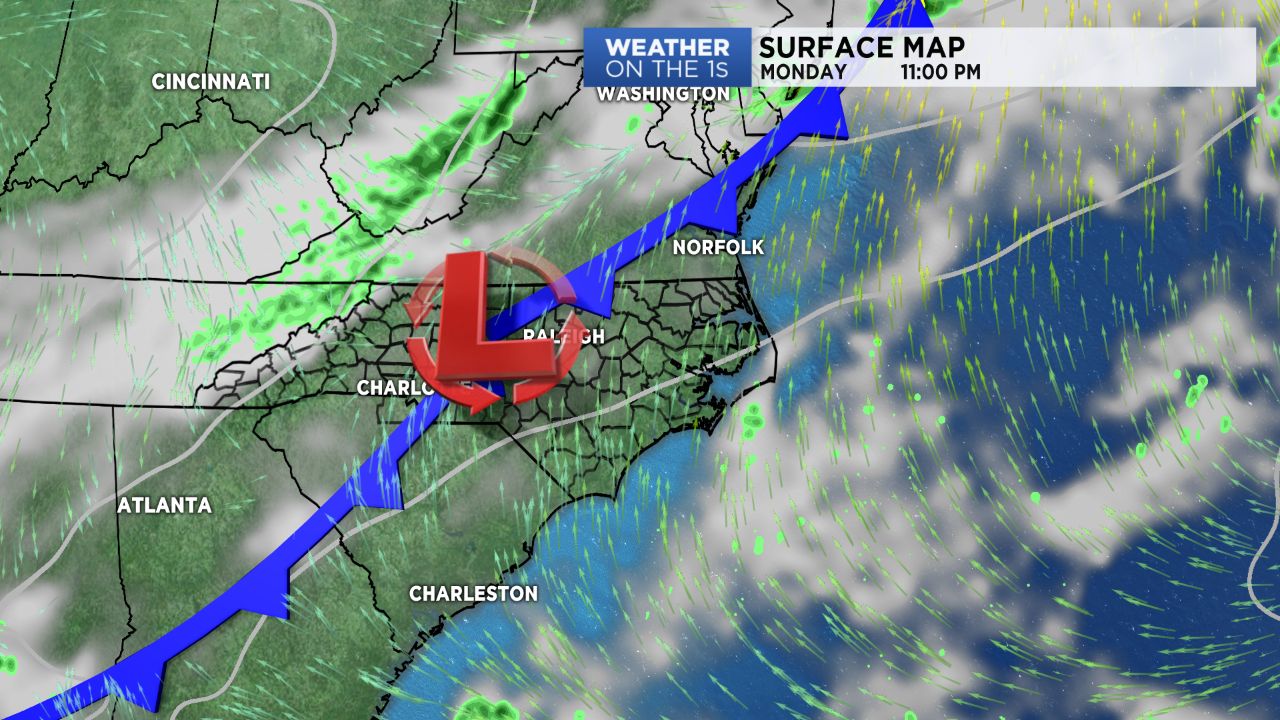
Monday will feature a rebound in temperatures as moist, southwesterly flow returns. Expect highs in the low to mid 80s under partly cloudy skies and a scattered chance for light showers along I-95.
A cold front is set to begin moving into the state late Monday night and slowly work towards the coast Tuesday. While we could see a few showers and storms bubble up along it, coverage will be fairly spotty and the showers will remain light.
By Wednesday night, this front should be to the southeast of us with high pressure building in behind it.
Thursday and Friday will feature the cool down behind this front with highs expected drop into the mid and upper 60s along the coast Thursday and Friday. Thursday morning will be off to a chilly start with lows expected to bottom out in the mid 40s to low 50s.
The second cold front will pass through Saturday, bringing us another shot of showers first, then a reinforcing shot of cooler air. Highs will drop back into the low to mid/upper 60s by Sunday into early next week.