


As Post-Tropical Cyclone Michael continues to track quickly off to the northeast, set to impact the northeast coast Friday, we're going to be dealing with Autumn-like conditions settling in across the region in its wake.
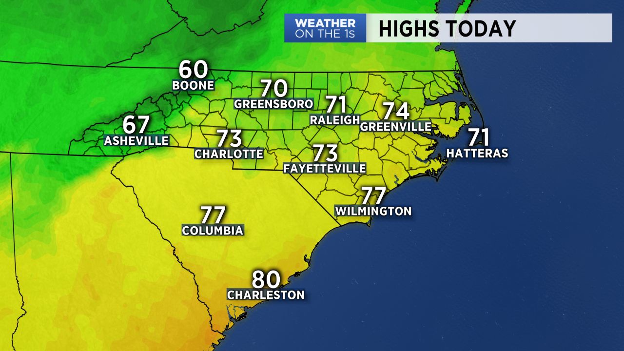
The Piedmont woke up to a crisp start Friday and will be heading into a picture-perfect October day. Expect wall-to-wall blue sky and sunshine with highs right around average in the low to mid 70s. Winds will continue to be gusty through the morning in the mountains, but should die down throughout the afternoon. Rivers and creeks, especially in the High Country, continue to see some minor flooding, with Flood Warnings in effect for areas along the Watauga River, Meat Camp Creek, and the Stony Fork though we should continue to see these drop off as the day presses on. Friday night will be another chilly one, as lows bottom out in the upper 40s and low 50s.
Saturday morning will bring a bit more cloud cover to start, but the sunshine should be back in full force by the afternoon with high in the upper 60s to low 70s. Sunday may be even a tad cooler, with many only expected to top off in the 60s and a chance for showers in the mountains.