


A few scattered showers are possible overnight mainly in the mountains. Our Piedmont zone could have some patchy fog for the start of Tuesday.
Tuesday afternoon should bring another round of showers and storms. I'd look for scattered activity at best.
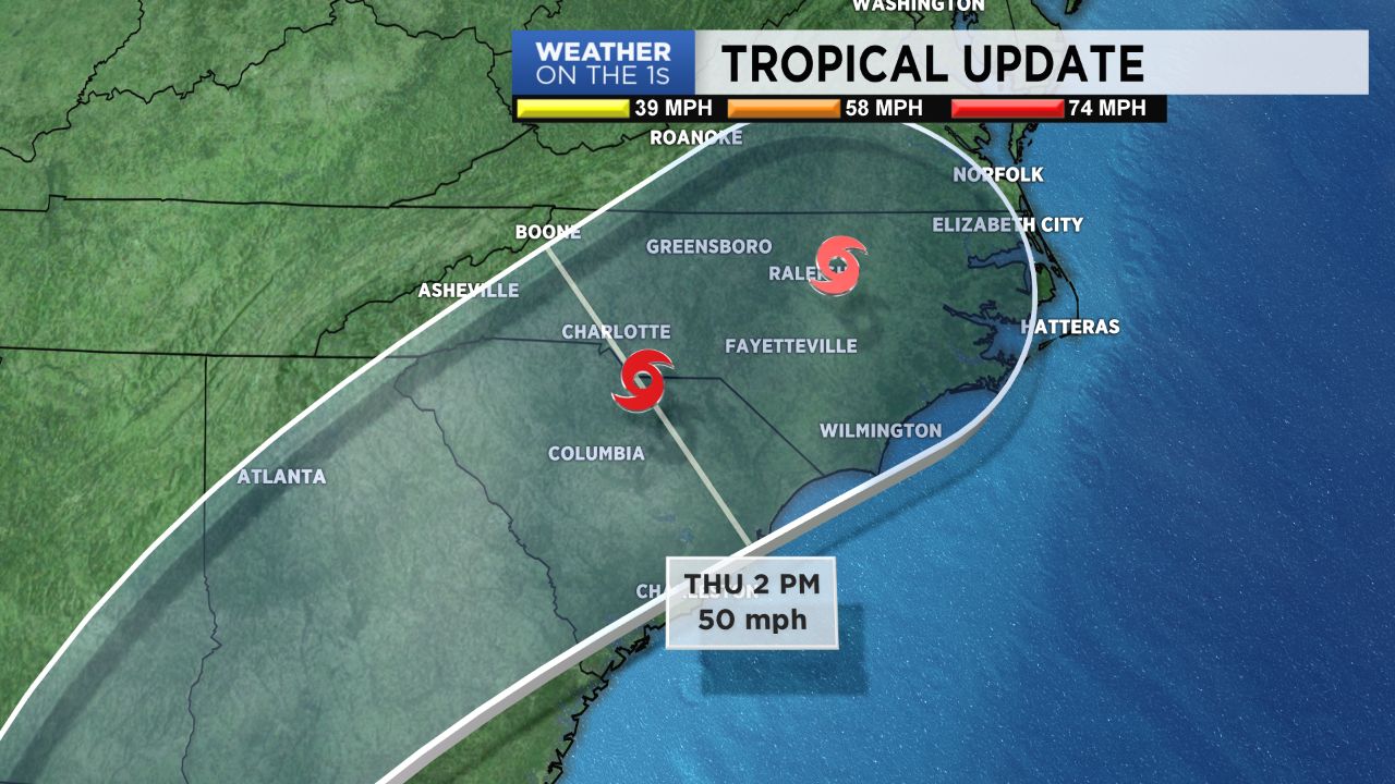
The remnants of Michael will bring some gusty winds and heavy rainfall our way late Wednesday night and Thursday. Some areas could see 4" to 6" of rain with locally heavier amounts. Who gets how much depends on the storm track. We should have a better feel on things later Tuesday.
After we are done with Michael, we cool off and Fall arrives from it's long sojourn in the West. I think you'll like what we have in store for the weekend temperatures and much of next week.