


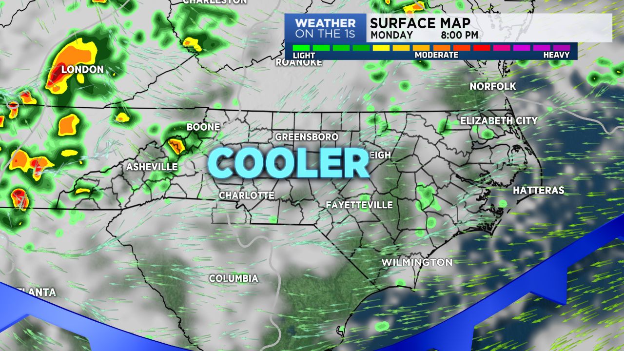
Everyone should enjoy some cooler temperatures Monday. A wedge of moist high pressure will dominate the pattern through early Tuesday afternoon. Expect clouds, with patchy precipitation possible at times.
Another cold front will move into our area Wednesday. With the boundary in the region, expect some active storms both Wednesday and Thursday. Looks like storm chances will be dropping late Friday.
Don't expect Fall temperatures beyond Monday. Mid 80s the norm for highs, with overnight lows in the mid to upper 60s; both running above seasonal "averages".
Mountain counties can expect a daily chance of showers through the week. Storms become a bit more active by mid-week. Precipitation chances should drop early in the weekend. Lower 70s for highs this week, with overnight lows in just the lower 60s.