


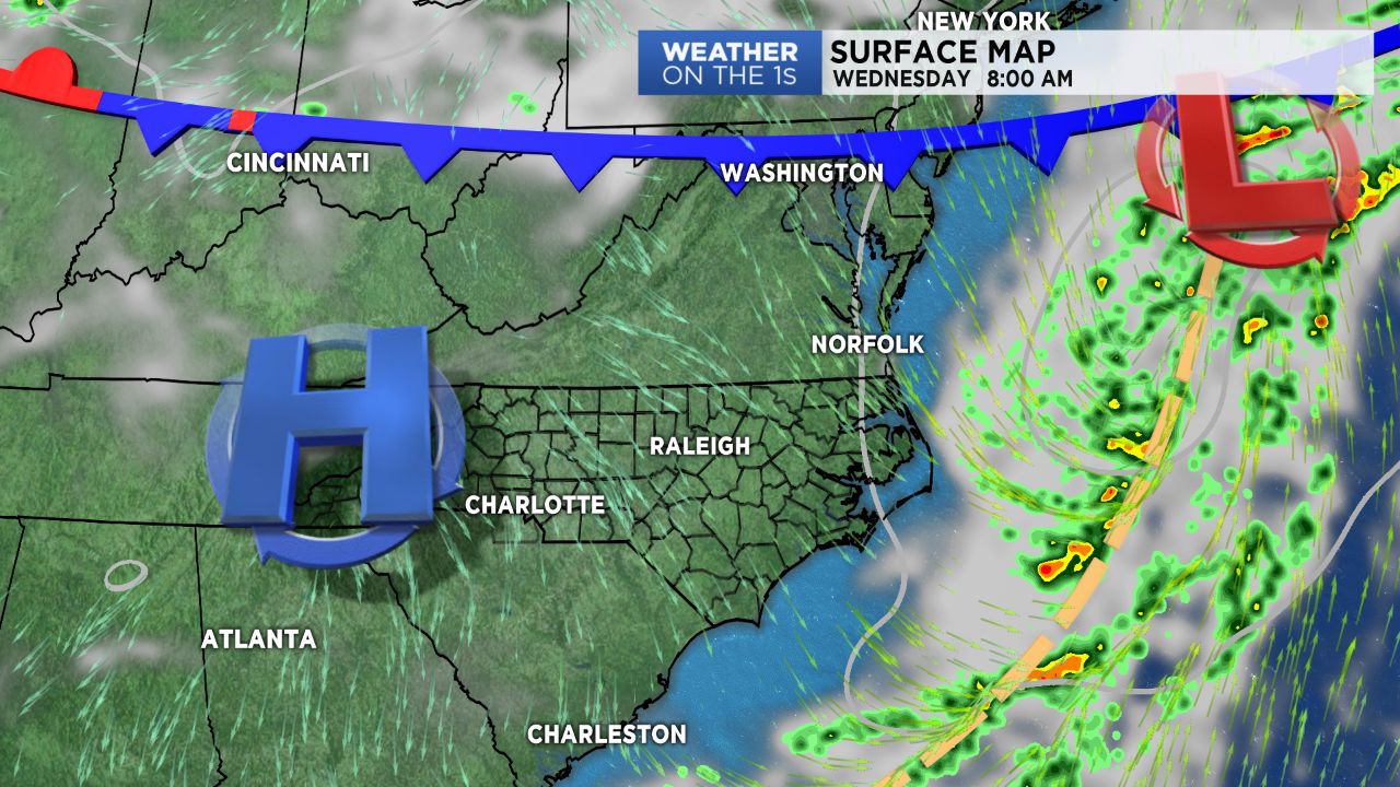
As the remnants of Florence continues to track far to the north and east today, a weak frontal boundary extending from it's remnant low will usher high pressure back into the region, leading to a welcomed stretch of dry weather through the end of the workweek.
Tuesday will be they last day with a chance for showers before we see a rain-free period of weather for the rest of the week. As a weak front pulls off to the east, light showers will be possible for some, particularly up in the High Country. Most areas across the Piedmont should remain dry and hot, with highs topping off in the mid to upper 80s.
Skies will continue to clear overnight, transitioning into what will be days full of sunshine Wednesday, Thursday, and Friday. During this time frame, temperatures will continue to run above average, with highs expected to remain in the mid 80s and lows in the mid 60s.
An unsettled weather pattern appears to set up once again as we head into the weekend and the first week of the Fall. Stay tuned!