


Friday will be the 12th day in a row that Raleigh has hit a high of 90 degrees or higher. Fortunately, we should get a small break from the hot temperatures by the second half of this weekend.
- 7-day forecast
- Interactive radar
- Share your weather photos with Meteorologist Lee Ringer on Facebook
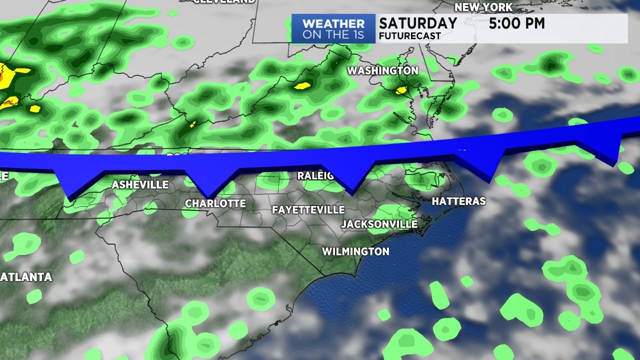
A cold front will approach the state from the north late Saturday. While we are still ahead of that front, Saturday afternoon will still be quite warm with highs ranging from the upper 80s in the Triangle to the low 90s in the Sandhills.
Much of Saturday should stay dry, but scattered storms are possible ahead of the front by the end of the day through Saturday night. The highest chance for rain will come from near the Virginia boarder to the Raleigh and Durham area. If any rain makes it to the Sandhills, it likely would not arrive until late Saturday night.
The front will stall over the Carolinas Sunday keeping skies mostly cloudy with scattered showers and storms in the afternoon. That should keep high temperatures to the mid 80s.
The threat for any severe storms over the weekend looks very low at this time. However, some of the storms that form Saturday evening and Sunday could produce locally heavy downpours and frequent lightning.
That front is forecast to eventually lift back to the north as a warm front. Much of the region should see highs in the upper 80s to around 90 next week.
Get the latest news, sports and weather delivered straight to your inbox. Click here to sign up for email and text alerts.