


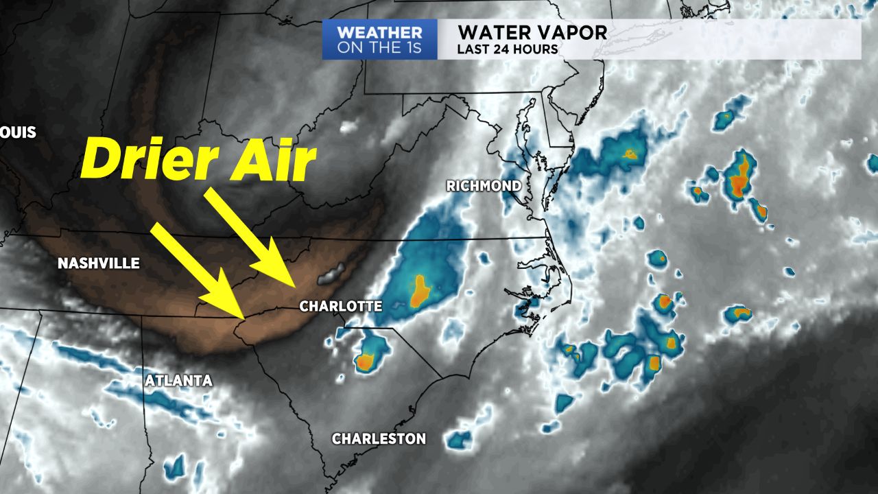
NORTH CAROLINA -- After we've dealt with several afternoons in a row of typical, summertime storms, drier air moving in Monday will bring a brief period of dry weather across central and western North Carolina.
- Dry weather moves into the region.
- Sunshine will come across as clouds lift during morning hours.
- Hot but quiet conditions from Tuesday through Wednesday.
The low level clouds that many dealt with early Monday morning will continue to lift during the morning hours, revealing a good deal of sunshine across the region. Other than a spot chance for a storm or shower to bubble up by this afternoon, particularly for areas near the Virginia border in the Triad, most should remain dry across the western half of the state with seasonable temperatures, as highs warm into the mid and upper 80s.
Tuesday through Wednesday will feature hot, but quiet conditions with highs in the upper 80s to low 90s. By Thursday, moisture will begin to increase yet again across the area, resulting in an increase in humidity and daily chances for afternoon showers and storms that will continue into the weekend.
Get the latest news, sports and weather delivered straight to your inbox. Click here to sign up for email and text alerts.