


TAMPA, Fla. -- Storms will end this evening.
Deep moisture remains across the area through Monday, keeping rain chances at 50 percent.
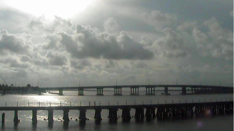
- Showers moving inland
- Pattern to continue Monday
- Highs in the low 90s
- SEE BELOW: See our 7-day forecast ▼
With an onshore wind direction again, showers and storms are likely to start early at the coast early in the morning. Storms will move inland through the day.
High temperatures will be near 90. Skies will be mostly cloudy especially in the afternoon.
Tuesday will feature partly sunny skies with highs in the low 90s with overnight lows in the 70s.
Winds will be southerly, so storms could start early at the coast. Some direr air begins to move in overhead. So expect more sunshine, slightly higher temperatures and fewer storms around.
- WEATHER ON THE GO: Download the Spectrum Bay News 9 app and get Klystron 9 alerts wherever you are.
- GET WEATHER ALERTS: Sign up to receive weather text alerts from Spectrum Bay News 9
- Klystron 9 | 7-Day forecast | Tampa Bay-area temperatures | Travel weather
The rain coverage will be 40 percent Tuesday.
Drier air will continue to spread in overhead Wednesday, so rain chances will lower even more.
The drier air above will continue into next weekend. Storm coverage will be lower than normal. Storms are also likely to have a later start each day. This will result in higher afternoon temperatures.
7-day forecast
