


CHARLOTTE, N.C. -- After a hot day Monday with an active end to the day, Tuesday through the end of the week will feature little change in the weather pattern. Hot and humid conditions march on into the first full week of August with daily scattered storms.
- Weather pattern to remain mostly the same through the week.
- Daily chances for scattered storms.
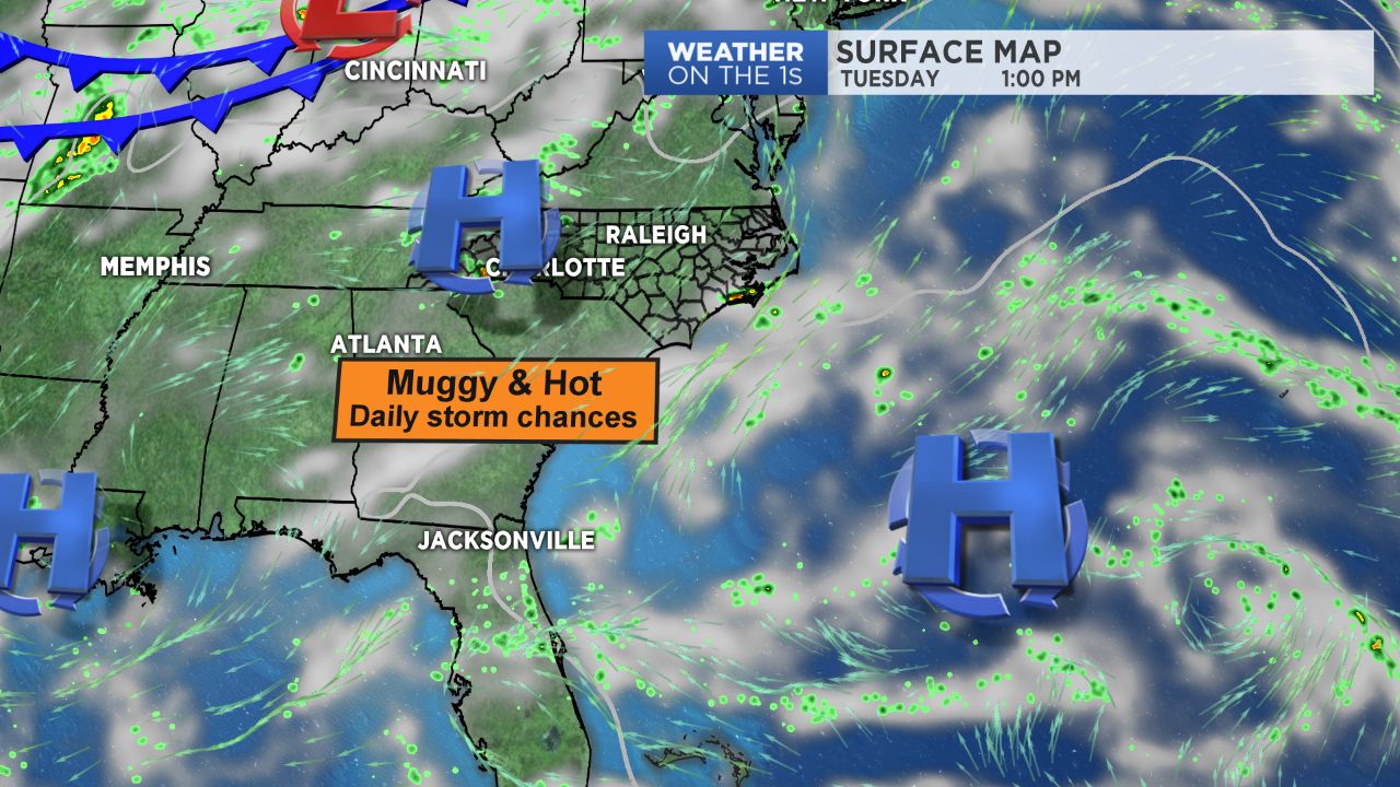
- High pressure will keep airmass warm and muggy.
High pressure continues to keep our airmass warm and muggy, supporting another day in the 90s for many with heat index values pushing into the upper 90s to perhaps lower 100s. A upper level wave that remains draped across the center part of the state will allow for additional showers and storms to fire up this afternoon and into this evening. Local pockets of heavy rain and frequent lightning may be an issue with any of these that do happen to develop like Monday's round of storms.
Wednesday through Thursday will feature the same thing. A cold front will drop southward through the area late Thursday then stall to the south of us Friday. This will keep the unsettled weather pattern around, though temperatures may cool down a smidgen behind the front for the end of the week, with highs expected to be back towards normal in the upper 80s.
Get the latest news, sports and weather delivered straight to your inbox. Click here to sign up for email and text alerts.