


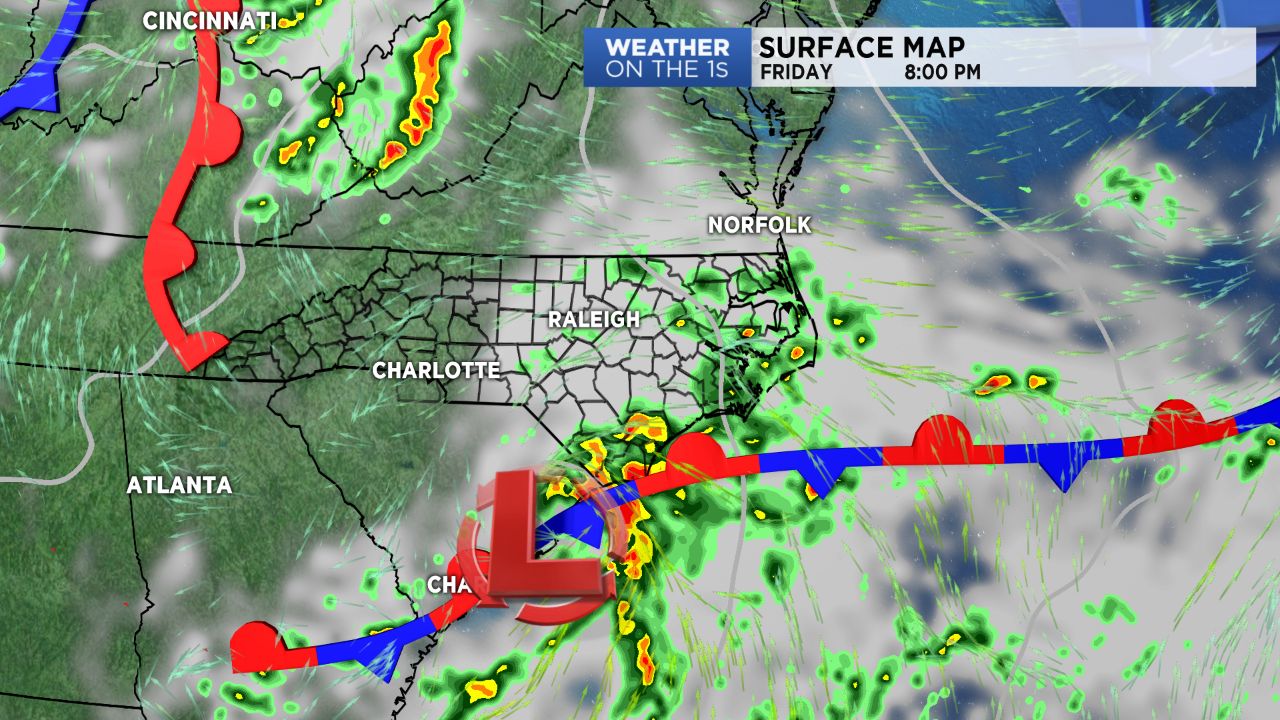
CHARLOTTE,, N.C. -- Look for another mainly cloudy and for mid-July, comfortable, day Friday with a small chance for showers across the eastern parts of the Piedmont. A cold front moving through late Saturday will bring a chance for showers and storms -- some of which could become severe.
- Friday will be mainly cloudy.
- Cold front to move through late Saturday.
- A chance of storms, some severe, for the weekend.
With high pressure to the north of us scooting off the East Coast, winds will persist in a more east/northeasterly direction today, allowing for another day of mainly cloudy to partly cloudy skies, with less humid conditions. A developing system in South Carolina will scoot northeastward today, allowing for a chance for scattered showers in our far southeastern zones (think: Western Sandhills). Most areas should remain dry with near average highs in the mid and upper 80s.
Things begin to become increasingly more active by late Saturday. A cold front pushing in from the northwest will move through late Saturday night, bringing scattered showers and storms across the area. Some storms could be severe, with a "slight" risk for severe weather placed across the mountains, foothills, and Piedmont. The main threat would be damaging winds, though isolated pockets of large hail could be an issue as well.
Saturday's system will kick off a prolonged period of unsettled and slightly cooler weather that will persist well into next week.
Get the latest news, sports and weather delivered straight to your inbox. Click here to sign up for email and text alerts.