


CHARLOTTE, N.C. -- Additional rounds of scattered showers and storms will move through the area again Tuesday afternoon and evening ahead of a passing cold front. High pressure building in behind the front will allow for a drier, less humid end to the work week.
- Showers and storms will move through Tuesday.
- Tuesday's weather pattern will be similar to Mondays.
- Highs will top off in the upper 80s and 90s again.
Tuesday will feature very similar weather to Monday's. Daytime highs will be nearly identical, with temperatures topping off in the upper 80s to low 90s. Humidity will remain high as well as a cold front approaches from the northwest. This will move through the area late this afternoon, providing the focus for additional rounds of scattered showers and weak embedded thunderstorms Tuesday afternoon and evening.
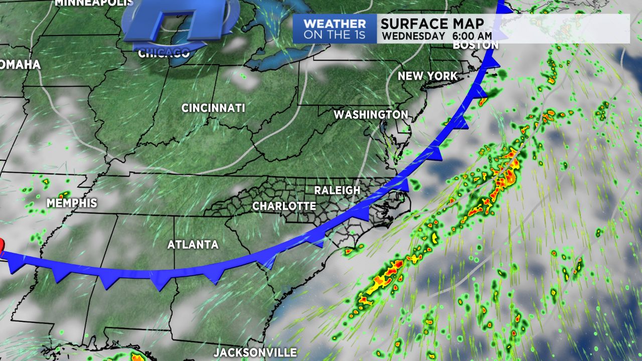
High pressure will build in behind the front for Wednesday, yielding a mainly dry and less humid forecast for the following few days. Other than a small chance for showers Thursday, most should enjoy a decent amount of sunshine through the end of the work week, seasonable temperatures, and lower humidity!
Get the latest news, sports and weather delivered straight to your inbox. Click here to sign up for email and text alerts.