


CHARLOTTE, N.C. -- High pressure that gave us a relatively quiet weekend will continue to weaken today ahead of a cold front expected to push through Tuesday. With the approach of this frontal boundary, we'll look for better shower and storm chances to begin the work week.
- Cold front expected to push through Tuesday.
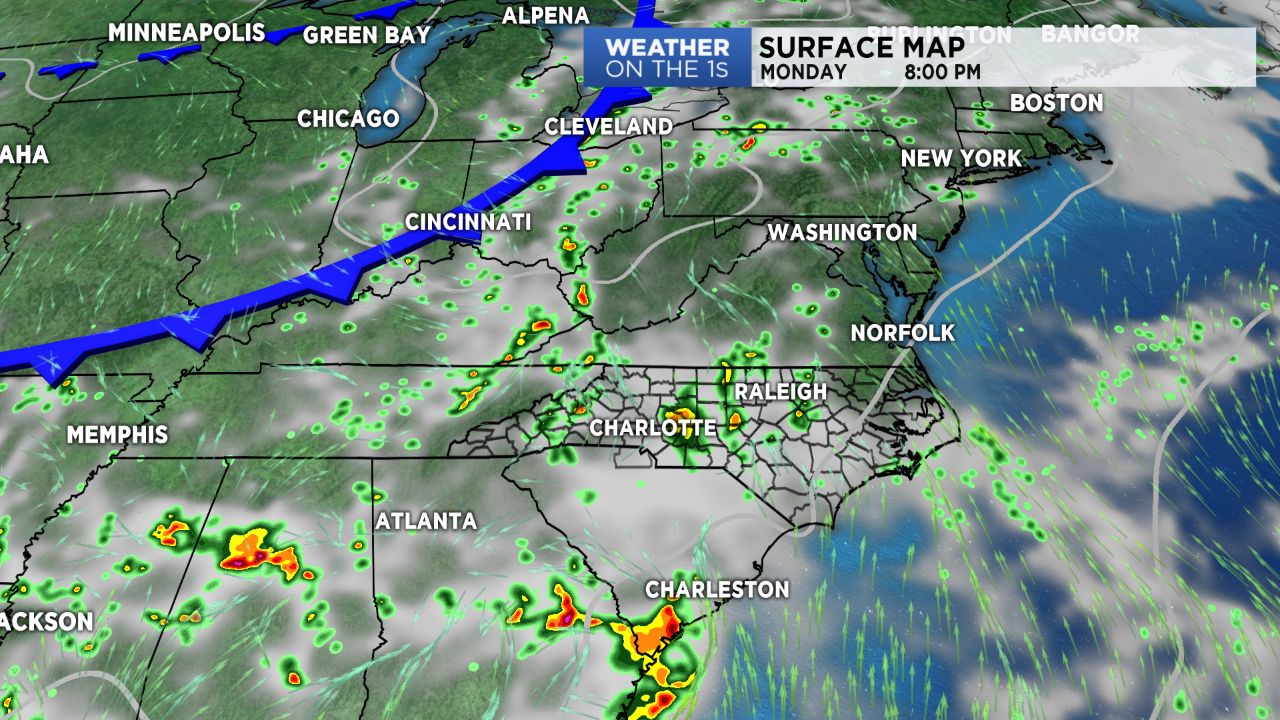
- Showers and storms will continue in morning hours Monday.
- Rainfall amounts will be limited for the most part.
A few clusters of showers and storms will continue to dissipate through the morning hours of Monday before a second wave of energy pushes through Monday afternoon. Along this disturbance, we'll see scattered to numerous showers and storms late this afternoon into this evening in both the mountains and Piedmont. While most should be under severe limits, an isolated strong to severe storm cannot be ruled out. Rainfall amounts will be a bit limited due to the fast moving nature of these storms, but some areas could pick up over half an inch of rain under isolated heavier downpours.
Another round of storms will move through Tuesday afternoon along a cold front. Behind this front, high pressure building in from Canada will yield a mostly dry forecast from Wednesday into Thursday.
Temperatures for the next several days will remain seasonable, with highs in the upper 80s to lower 90s.
Get the latest news, sports and weather delivered straight to your inbox. Click here to sign up for email and text alerts.