


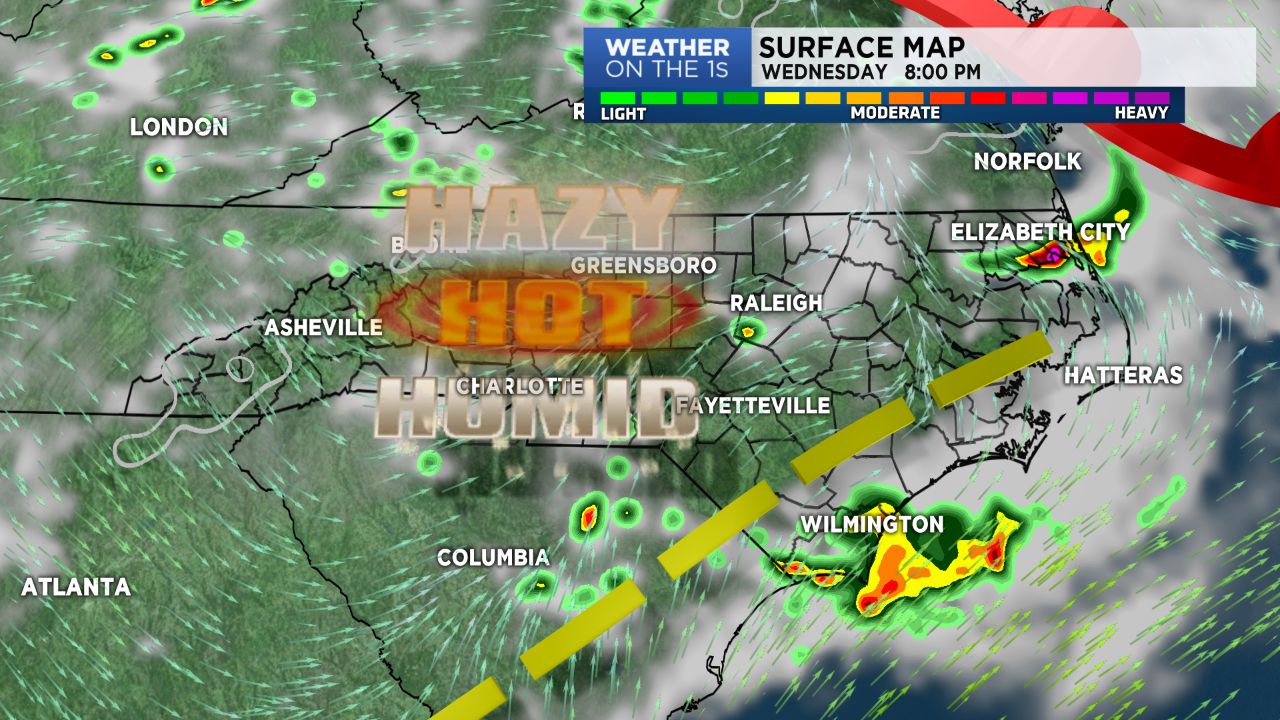
Tuesday was as tough as Monday with our heat and humidity. We'll have to endure one more day of the big ticket ugly stuff before we get a break. Wednesday will see temps right back in the mid 90s with the heat index 100+ for many areas.
A frontal boundary will drop in from the North Thursday and stall across the area Friday. We'll note increased cloud cover and increased coverage for afternoon & evening storms. Thus, cooler temps! Just keep in mind, storms can become strong and even severe with little to no warning. It's important that you stay weather aware!
Keeping up the good work on dealing with the heat! Pets need water and shade, humans need light colored clothing, water, breaks in the shade and AC! Keep eyes on children, the elderly, those who are sick and folks without AC. A community effort needed to help us all get through this heat wave of late.