


High pressure building in behind the front that stalled out across our region Thursday will lead to a drier day for most Friday. The heat cranks by the end of this weekend into next week as temperatures soar to well above average levels.
- Temperatures will be above average going into the weekend and next week.
- Lots of sunshine across the Piedmont and the mountains.
- A front is stalled to the south of U.S.
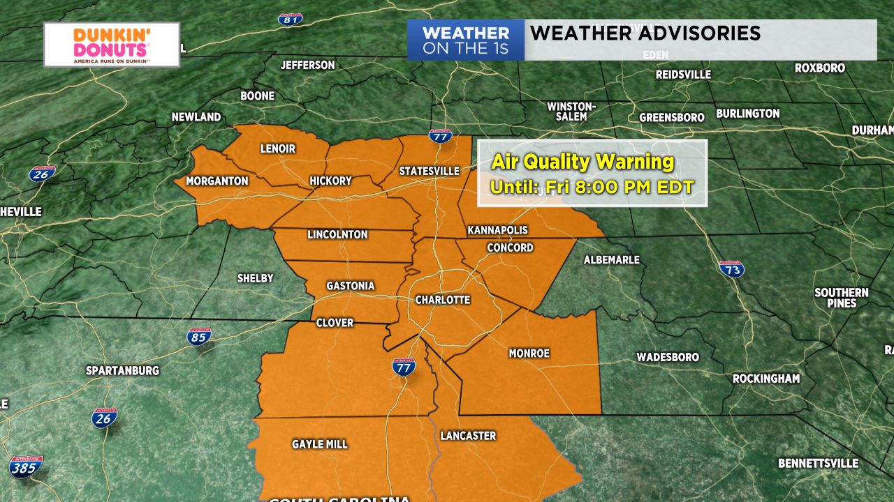
Slightly more stable air will continue to move in today, yielding a day of lots of sunshine across both the Piedmont and the mountains. With the airmass stabilizing, however, we could also deal with heightened ground-level ozone concentrations, prompting an Air Quality Action day for the majority of the Piedmont and into the foothills, where ozone concentrations may approach or exceed unhealthy standards. Otherwise, expect a day in the upper 80s and low 90s with a chance for isolated showers and storms across the Western Sandhills area this afternoon and into early this evening.
With the front remaining stalled just to the south of us, we'll look for additional rounds of isolated showers and storms for our far southern counties (areas closest to the South Carolina border) Saturday afternoon. Father's Day should be hot and mainly dry with minimal storm chances. Temperatures will warm into the mid 90s for some with heat index values in the mid and upper 90s. Even hotter conditions are expected for early next work week, where highs will top off near 10 degrees above average.
Get the latest news, sports and weather delivered straight to your inbox. Click here to sign up for email and text alerts.