


All meteorological eyes are focused on the southern Gulf of Mexico as Subtropical Storm Alberto takes shape.
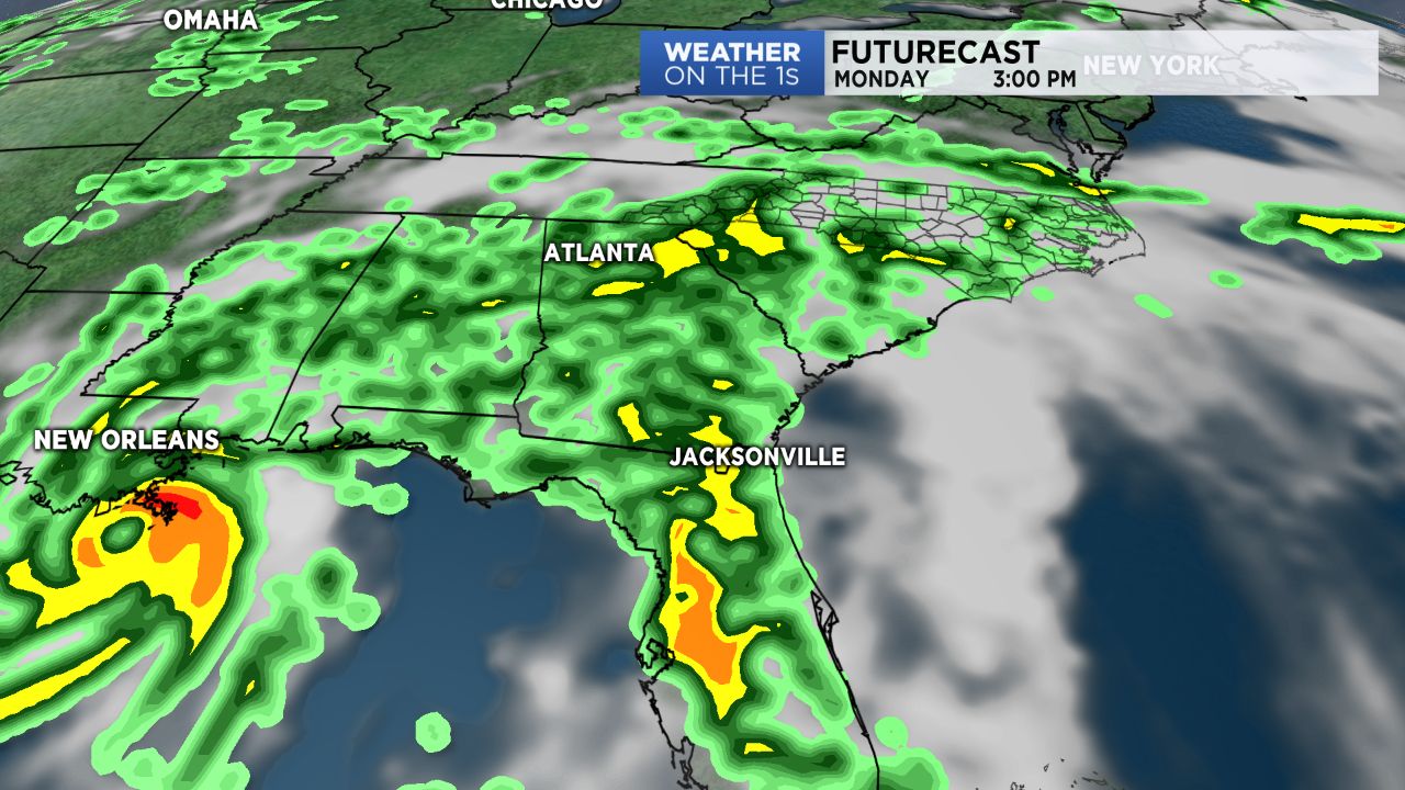
The storm is forecast to move north into the central Gulf and become more organized and strengthen. As of now landfall is forecast late Monday night somewhere between New Orleans and Pensacola. That would bring the wettest weather for the holiday weekend from an area near Louisiana and Mississippi to Florida.
The system will also impact the weather here in North Carolina over the Memorial Day weekend. Not so much wind here, but the rain could cause problems especially for parts of the state that have experienced flooding over the last week. Late last week heavy rains caused mudslides in the mountains. A heavy downpour caused flooding in Raleigh Monday night. Near the coast, Wilmington has also seen significant rains over the last week making this the wettest May and the wettest spring on record for the city.
Fortunately, the news is not all bad for your outdoor plans over the weekend. Just scattered showers and storms are expected Saturday and Sunday afternoons. The rain will become more widespread and heavier for much of the state into the day Monday.
Tropical moisture will linger over the region through at least the first half of next week. That will keep a good chance for scattered showers and storms with downpours in the forecast most days next week.
Much of North Carolina should see at least two to four inches of rain over the next week. Locally higher amounts are expected.
Stay tuned to Weather on the 1s on Spectrum News through the weekend for updates.
Get the latest news, sports and weather delivered straight to your inbox. Click here to sign up for email and text alerts.