


We had scattered showers and storms move through southern North Carolina and then up into the mountains Thursday into last night while locations around the Triad region enjoyed a brief break from the high humidity.
Today, everybody is back into the muggy air, and everyone is fair game to have scattered showers and storms. The greatest coverage of showers and storms will likely be in the mountains and foothills, but even in the piedmont, look for some scattered activity.
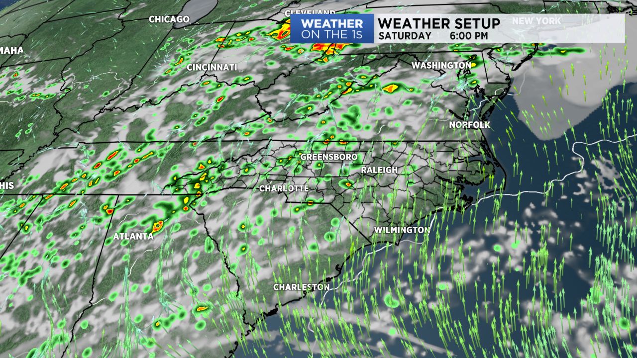
As we roll into the holiday weekend, muggy air will remain in place, and scattered showers and storms will as well. The greatest amount of showers and storms will likely be in the afternoon and evening, but some areas of showers and storms are possible even overnight.
For the Coca-Cola 600 Sunday evening, it looks like the challenge will be in trying to get the race in before some better rain chances roll in Sunday night. However, while there's a reasonable chance we can get the race in, just be aware delays are possible for the Speedway activities this weekend.
Deep tropical moisture will arrive by Memorial Day and likely stick around much of next week. The result will be good shower and storm chances on a daily basis. Factor in saturated ground conditions and some flooding issues could develop at times.
Tropics
We continue to monitor and area of low pressure near the Yucatan Peninsula. There is a good chance this system will become a tropical storm over the Gulf of Mexico over the next couple of days and will likely wind up making a landfall along the central Gulf Coast by Sunday or Monday.
For our area, the big impact will be deep tropical moisture enhancing rain chances much of next week.
Get the latest news, sports and weather delivered straight to your inbox. Click here to sign up for email and text alerts.