


As what's left of an area of low pressure that has played a part in bringing us days of unsettled weather moves northward, expect more showers and storms Friday and into the weekend.
- Scattered showers possible across western N.C. on Friday.
- Rain chances less likely on Saturday and Sunday, but still possible.
- Highs will be in the low to mid-80s and lows in the mid to upper-60s.
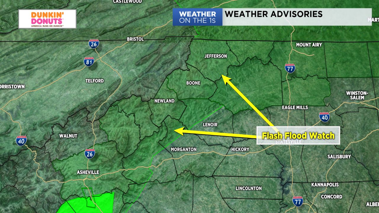
Friday, like Thursday, will feature additional scattered showers across western North Carolina and very muggy conditions. Highs will be in the upper 70s and low 80s with dew points in upper 60s, making for a very "soupy" kind of day. Any showers or storms that do happen to develop will likely pack some heavy rainfall. Rain amounts, due to that, will vary quite a bit Friday and be entirely dependent on who happens to fall under shower/storm cells. Some areas, particularly in the mountains, will have the potential to pick up another 1"-2" of rain. Hence, Flash Food Watches remain in effect for Ashe and Watauga counties through late Friday night.
While rain chances will back off a bit for Saturday and Sunday, showers and storms may still be a bit of an issue for weekend plans. Those headed to the Charlotte Motor Speedway for the All Star Race may have to deal with some rain delays, especially after about noon Saturday. Expect smaller shower and storm chances next week, but the high humidity will march on. Temperatures should also remain fairly consistent, with highs in the low to mid 80s and lows in the mid to upper 60s.