


CHARLOTTE, N.C. -- After a few showers and storms Thursday evening, a diminishing chance for showers will play out overnight and the first part of our Friday.
Areas that received heavier rainfall Thursday evening will need more monitoring as water runoff fills creeks and streams. With luck, we can avoid any flooding across flood prone zones.
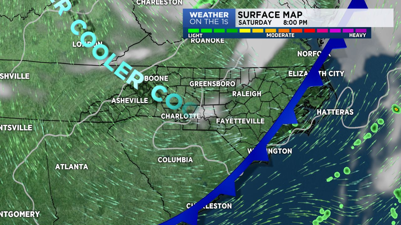
High pressure sets up for the weekend and an abundance of sunshine iin the forecast. While temperatures will reach the upper 70s Saturday, the passage of a dry cold front, will bring cooler temps for Sunday and cold temperatures for Monday morning; near 40. Monday afternoon we rebound into the mid 70s.
Model trends have much of next week with lower to mid 80s for the Piedmont, and lower to mid 70s for the Mountains. Not a drop of rain in sight.