


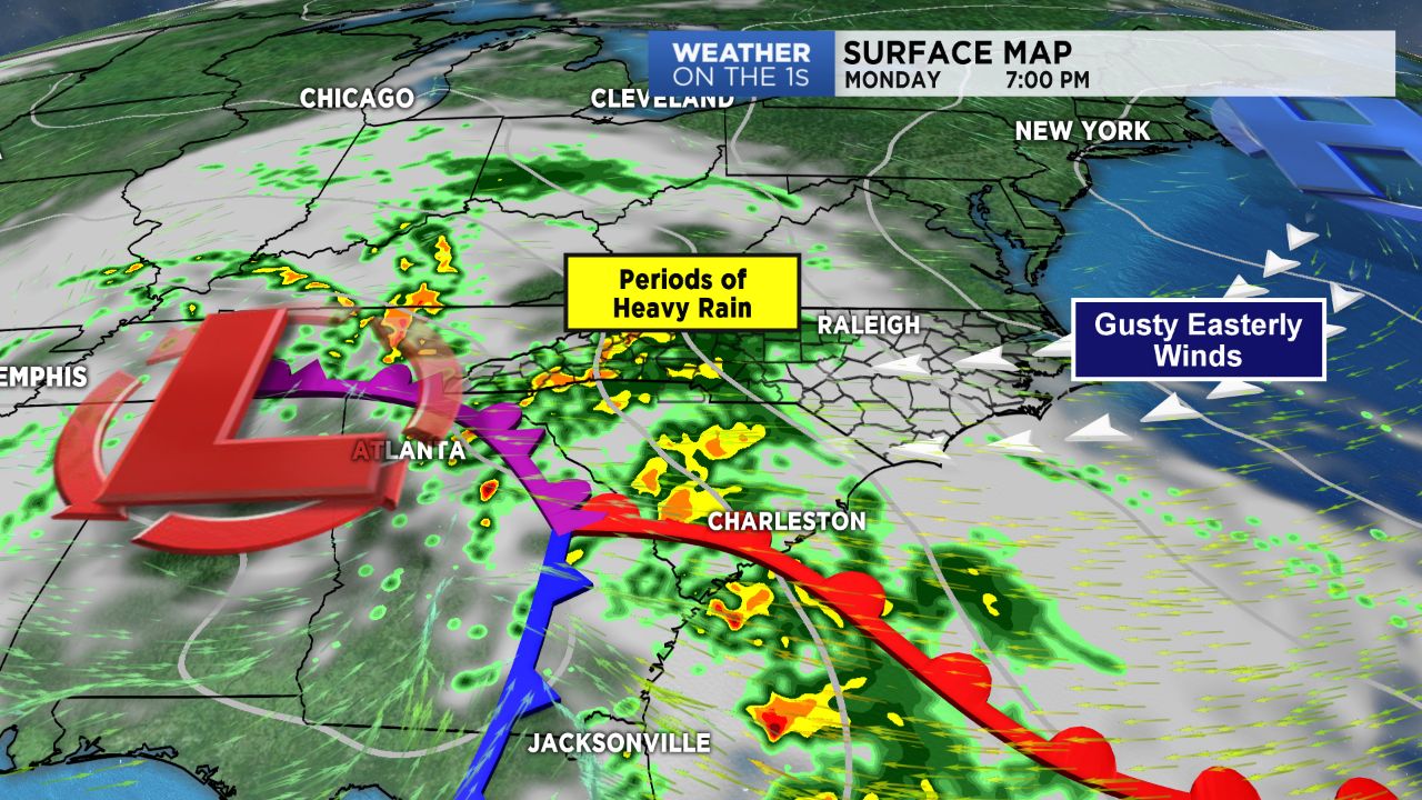
CHARLOTTE -- After a weekend of dry weather, Monday will kick the work week off to a rather wet start as a slow moving area of low pressure works eastward, bringing periods of heavy rain and gusty winds.
Plenty of moisture streaming in from the Gulf and Atlantic ahead of a slow moving upper level low will result in a day of rainy and breezy conditions region-wide Monday. Expect rainfall rates to pick up by late morning into the afternoon, where amounts between 1"-3" will be possible across the Piedmont. With winds now out of the east, moisture backing up against the Blue Ridge mountains will allow for heavier rainfall amounts in the mountains and foothills, where 3"- 4" are anticipated with locally higher amounts. Hence, the National Weather Service has issued a Flood Watch for Ashe, Watauga, Avery, Caldwell, and Burke counties. Temperatures Monday won't move too much thanks to strong easterly flow, with highs expected to only reach into the 50s and low 60s.
Rain -- sometimes heavy rain -- will persist overnight and into early Tuesday. From there, expect rainfall rates and chances to slowly dwindle throughout the day. Temperatures will warm back towards average by Tuesday as the "wedge" breaks down.
The remainder of the week will hold small rain chances (for now) with sunshine returning for the weekend.