


After a day in the 80s for all across the Piedmont, temperatures will take a dive Wednesday after a cold front sweeps through by mid-morning.
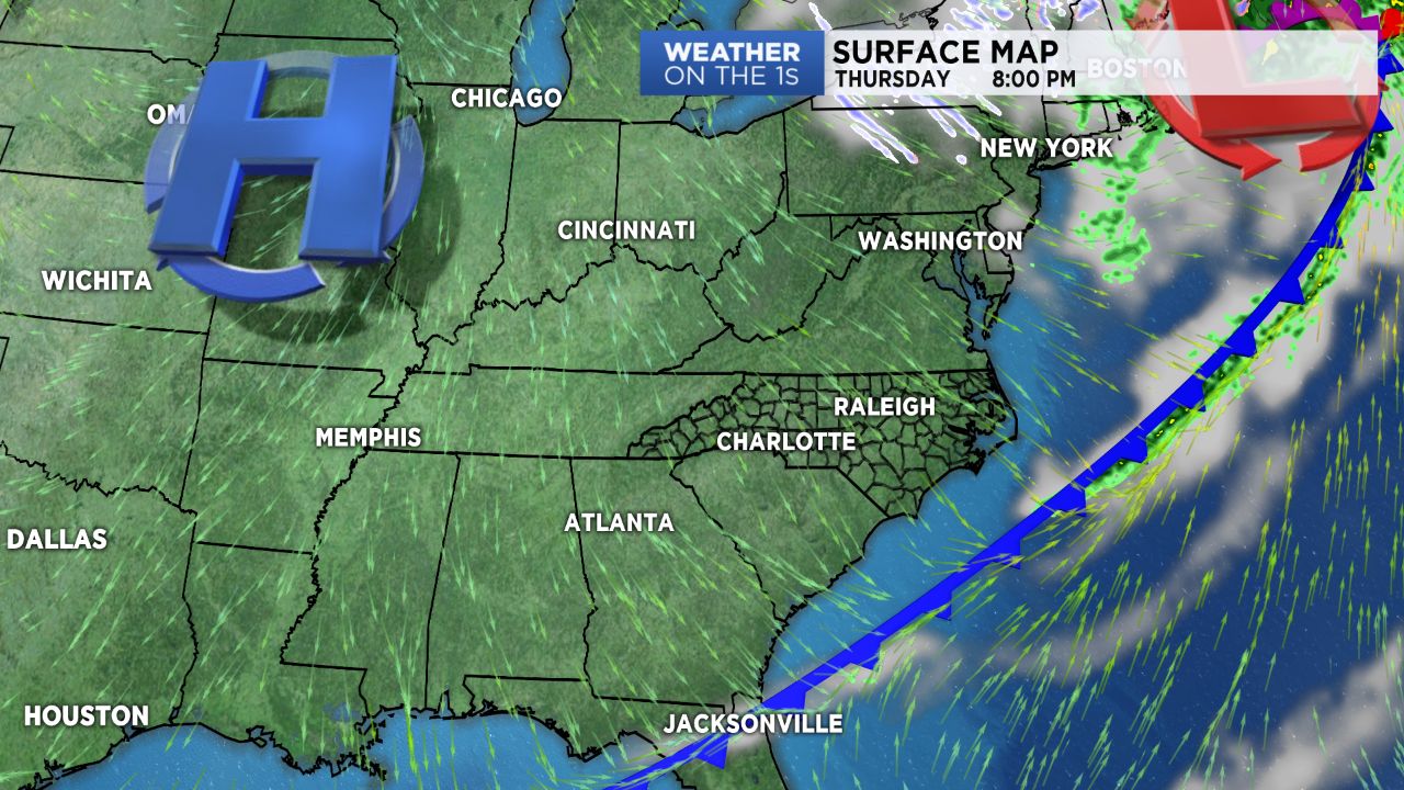
A cold front continues to push across the Tennessee Valley early Wednesday morning, firing up some light rain showers across the mountains. As this front works its way eastward, shower activity should fizzle out as it tries to work into lower terrain.
By the time it crosses the Piedmont, it'll just be producing some passing clouds before cool, dry air filters in behind it.
Temperatures today will be a good bit cooler than Tuesday's and below average, with highs only expected to top off in the mid to upper 60s with a few 70s possible for the Western Sandhills. The High Country will only be in the 40s today with blustery conditions expected to prevail into this afternoon.
With dry, cool high pressure building in from the northwest by for the rest of the week and into the weekend, we'll get to enjoy a stretch of sunny, but cooler weather. Rain chances won't make a return to the forecast until Monday of next week.
Get the latest news, sports and weather delivered straight to your inbox. Click here to sign up for email and text alerts.