


After a 6-day stretch of below average temperatures, we're heading into a big warm up to end out the work week.
Tuesday will bring one more day unseasonably cool conditions before temperatures rebound quickly on Wednesday. With high pressure still anchored across parts of the far northeast, a "wedge" pattern will still impact our weather through Tuesday.
Expect plenty of cloud cover region-wide, with some patchy drizzle possible, coupled with daytime highs in the 40s to low/mid 50s. By Tuesday night, this pattern that has kept us cool for the past few days will, at last, begin to erode.
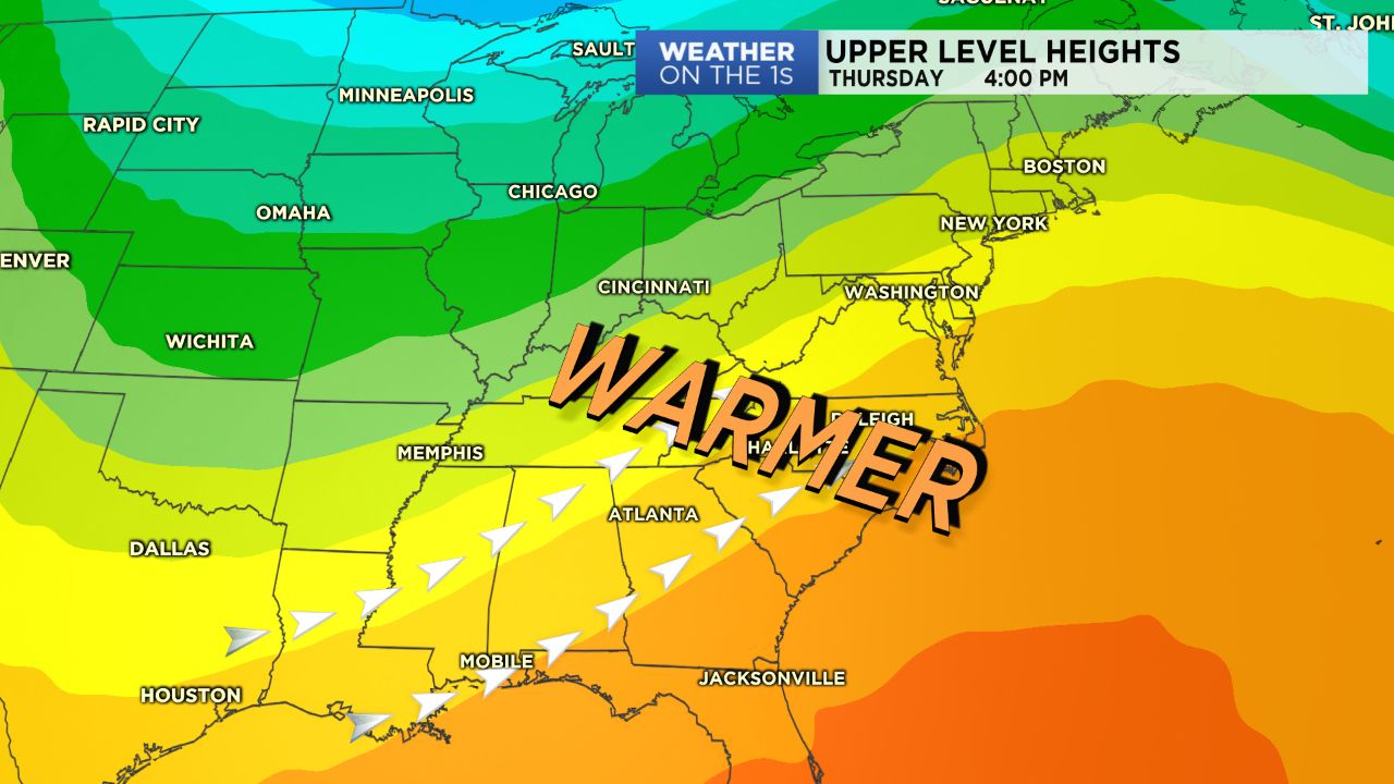
High pressure building off of the southeast coast Wednesday will allow winds to return out of the southwest and temperatures to increase rapidly. In fact, by Wednesday afternoon, many areas across the Piedmont will likely hit the 70-degree mark, despite the expected cloud cover. Thursday will be an even warmer day, where some areas may just hit 80 degrees.
Weather-wise, most will just be dealing with cloud cover for the next few days with the exception of the High Country, where they'll look for showers starting Wednesday. A cold front moving through Thursday into Friday will bring us a round of showers Thursday night into the first part of Friday before things quickly dry back up just in time for Easter Weekend!