


Western North Carolina will feel more like late April than mid-February to round out the work week, with temperatures soaring to well-above average levels, potentially tying records for daytime highs on Friday.
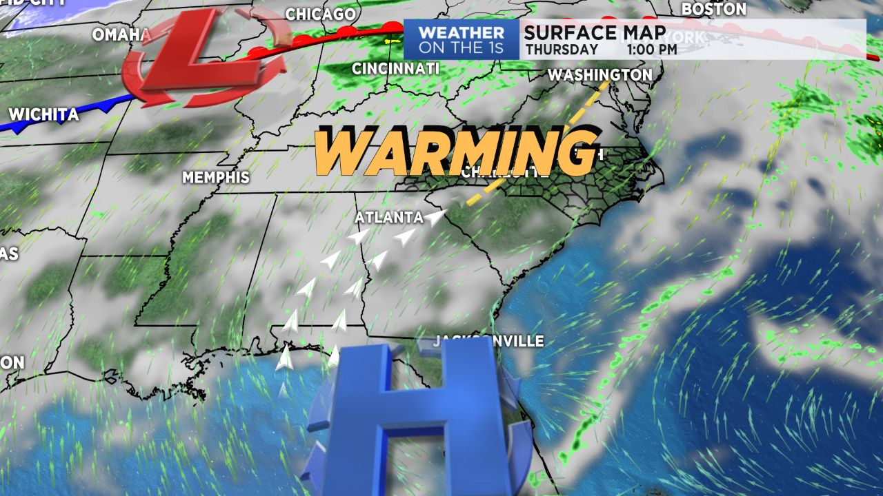
High pressure anchored across the Deep South will allow for deep southwesterly flow to usher in some much warmer air, leading to a warming trend that will take us through Friday. Thursday will feature a small chance for showers in the morning, with improving skies by the afternoon. As a system begins approaching from the northwest, a tightening pressure gradient across the region will cause winds to pick up during the day, with wind gusts nearing 25 mph at times across the Piedmont. Of course, with the direction of these winds out of the southwest, temperatures will soar, with low to mid 70s on tap across lower elevations and upper 60s for the High Country.
Friday will be similarly as warm. Friday's previous record for Charlotte holds at 76 degrees, set back in 1976. However, with temperatures expected to warm back into the mid-70s by Friday afternoon, Friday's daytime high could at least tie that record. Clouds will continue to increase through the day Friday as a cold front moves in from the northwest, bringing a quick shot of rain across the region.
The first half of the weekend will feel the cool down from Friday's front, with temperatures taking a plunge back into the low 50s. Another round of rain will move in Saturday before clearing out nicely by Sunday morning, allowing for the return of sunshine to at least end out the weekend -- something we haven't seen in a while!
Get the latest news, sports and weather delivered straight to your inbox. Click here to sign up for email and text alerts.