


While the first day of February will remain dry during the day, a cold front pushing through Thursday night will bring a quick line of showers back across the Piedmont and Triad with accumulating snow in the mountains.
Thursday will feature a warmer, but cloudier day. Winds will continue to ramp up out of the southwest, becoming gusty at times, as high level clouds begin pushing into the region through the afternoon.
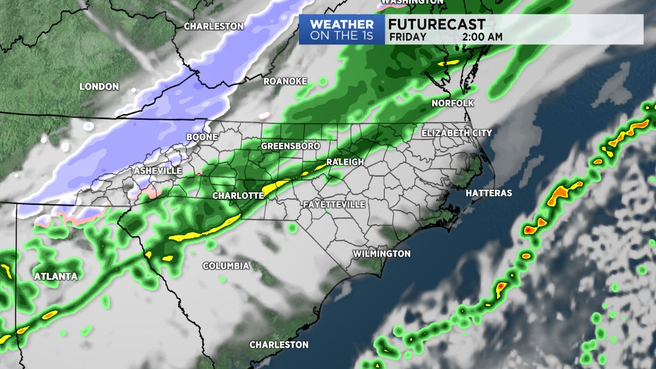
Rain showers will be possible as early as late this afternoon for the mountains as a cold front begins traversing through the Blue Ridge mountains. A line of showers will spread into lower elevations overnight, and may be mixed with snow at times for areas north of the I-85 corridor.
With cold air moving in behind the front, the mountains will see the transition from rain to snow during the early overnight hours, prompting a Winter Weather Advisory for Ashe, Watauga, and Avery counties, where they'll have the potential to pick up anywhere between a half an inch to 2 inches of snow.
This front will move quickly off the coast by Friday morning, putting an end to precipitation before cold, but dry air slides in behind it.
The weekend will be off to a quiet, but chilly start, with highs in the low to mid 40s, before an additional cold front moves through Sunday. This system could bring us some wintry precipitation early Sunday across lower elevations. Stay tuned!
Get the latest news, sports and weather delivered straight to your inbox. Click here to sign up for email and text alerts.