


We enjoyed a mild Monday across the region, and today will be even a little milder just ahead of our next storm system. Look for intervals of sunshine today with highs in the mid 60s... maybe even making a run at 70 in a couple of spots.
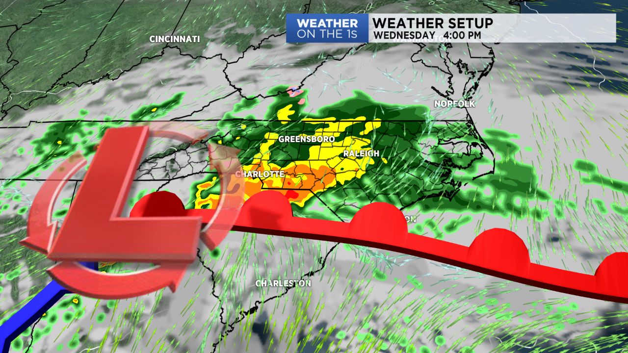
Clouds will quickly thicken tonight, and rain will overspread the area as we head into Wednesday morning. No changes to my ideas here.... this looks to be a pretty good soaker.
The heaviest rain amounts will likely be in the general area of the North and South Carolina border region, but I expect many areas to at least receive 0.5" - 1" with locally higher amounts.
Thursday and Friday look generally cool and quiet, and then our next front will crawl across the region over the weekend. Due to the slow movement of the front, it looks like I need to include good rain chances from Saturday all of the way into Christmas morning.
Much colder air will flow in later Christmas Day, and then a cold weather pattern will have returned across most of the eastern U.S. for Christmas week.