


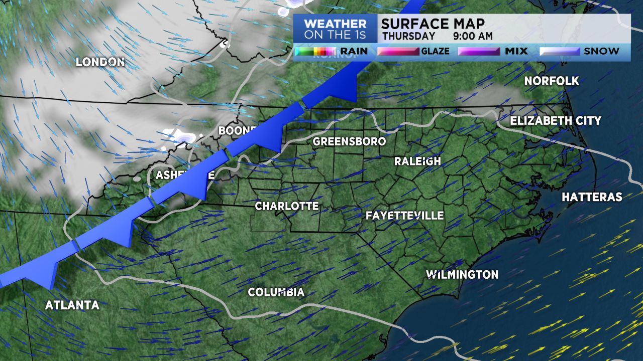
Fast moving and dry cold front will race across our region Thursday. Winds will be ramping up again; mountain counties, heads up. The boundaries may allow for a few snow flurries in the High Country.
High pressure will take center court for the weekend. We do expect that temps will warm a bit. We'll look for mid to upper 50s, Saturday and Sunday, and lower 60s Monday and Tuesday. Mountain temps will mid 40s for highs this weekend and mid 50s early next week.
The chance for rain returns early next week as well.
Looking down the road and around the corner for Christmas week, it appears a colder and more "active" pattern could be in play. Some ensemble data suggests we may have a go at some snow, or ice, if things align properly. As it is very early, merely a *ping* of note, for watching data through next week. But, the end of this year might be interesting; we'll see.