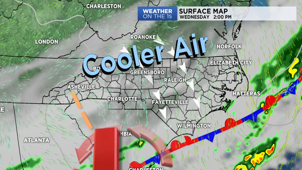
Charlotte broke into the 70s for the second time so far this month, only adding to the days of well above average temperatures the region has seen for the past several days. Wednesday, however, will mark the beginning of a major cool down that will last into early next week.
A cold front that continue to pull through Wednesday morning will work its way off the coast Wednesday afternoon where it will eventually stall out. With this front not moving far, moisture will remain in place for at least the end of the week, allowing for continuing cloud cover and additional chances for precipitation: both in the rain and snow form.
Daytime highs will continue too cool day by day, where a reinforcing shot of cold air moving in Friday will drop highs into the 40s for Friday and the weekend with lows near and below freezing. With moisture still moving in from the southwest and precipitation chances sticking around in the Piedmont and mountain forecasts, this could mean some wintry precipitation make an appearance across the Piedmont. While no accumulations are expected at this point, a few snowflakes certainly could be mixed with a cold rain, particularly Friday night into Saturday.
The mountains, of course, will have a much better chance of seeing this precipitation in the form of snow, but chances for any precipitation at all remain limited through Friday. A system moving in Saturday into Sunday, however, could bring a brief shot of accumulating snow to higher elevations and ski resorts.


