


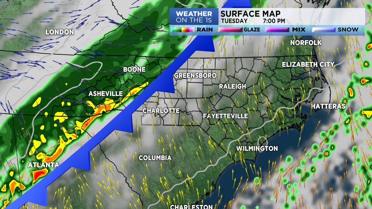
A robust cold front will bring BIG changes to our area later Tuesday.
Essentially we'll unlock the vault to the colder air we've been talking about since last week.
"Seasonal" temperatures are expected Wednesday & Thursday ( mid 50s) and then we'll struggle to hit the mid 40s for highs Friday, Saturday and Sunday. Overnight lows will land mid 20s by the weekend.
Rain is in the forecast for Tuesday afternoon in the mountains, and then across the Piedmont as we head into Tuesday evening and early Wednesday. Many areas could see over a half inch of needed rain; we'll take it.
Winds will get gusty with the front and just behind it. Our mountain counties could see some gusts to 45 MPH +, with Piedmont counties upwards of 25 MPH +.
Snow is forecast for the Mountains in a couple of batches, Friday & later Saturday. Accumulation is not expected to be substantial enough to cause road issues.
As for the Charlotte region, a few flurries might be possible overnight Friday into early Saturday and then again very late Saturday night.
As of this posting, the setup just isn't conducive to snow for the Charlotte region.
We'll be freshening the mountain snow forecast as we get a bit more confidence in the data later in the week.