


Wednesday will bring another day of quiet conditions as high pressure continues to hold over the mid-Atlantic states. Other than some morning stratus clouds, Wednesday should bring more afternoon sunshine than central North Carolina has seen in previous days but, with winds persisting out of the north and east, temperatures will remain cool. Expect daytime highs to only reach into the mid to upper 50s across the Piedmont with 40s for the mountains.
A weak, mainly dry cold front will quickly move through Wednesday night. Other than a few spotty showers in the High Country and passing overnight clouds, the front won't have much of an effect on the area. In fact, with high pressure building in quickly behind it, Thursday should see a good warm up from Wednesday, with highs back in the mid-60s under sunny skies.
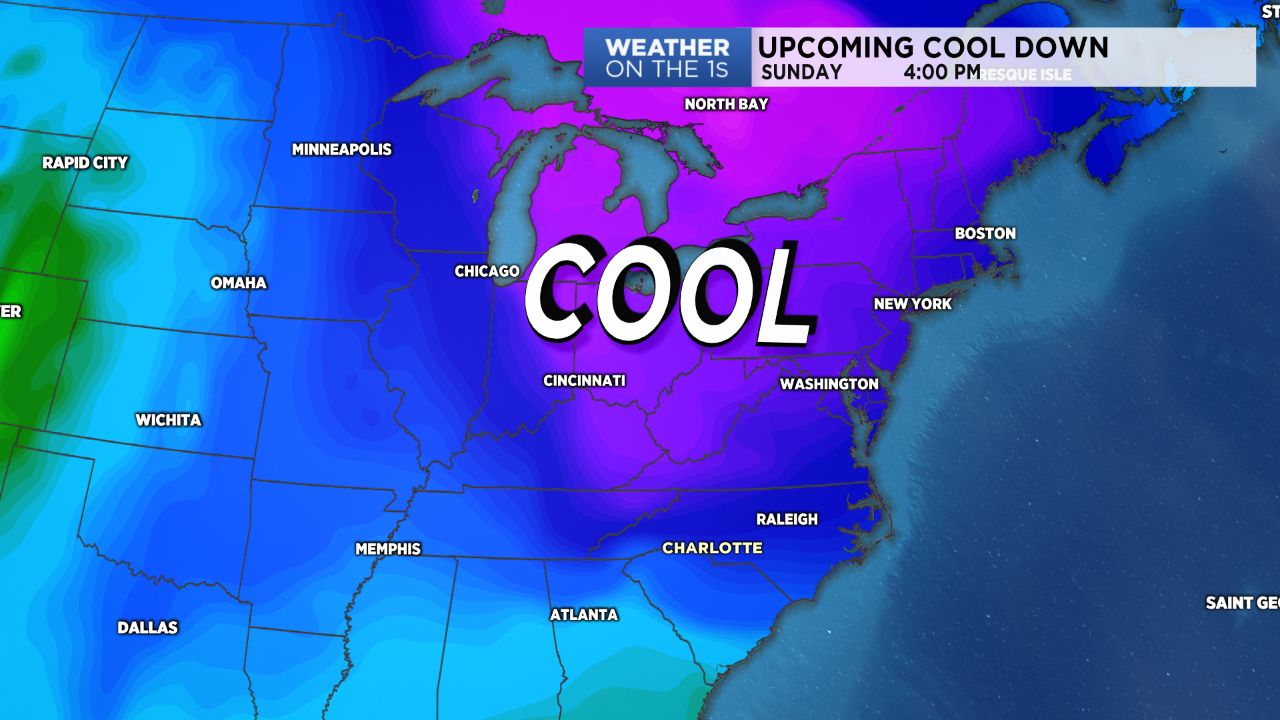
Friday will bring another day of quiet, sunny weather before a strong system pushes through over the weekend. A rather robust cold front will pull through the Carolinas Saturday into Sunday, first bringing us showers late Saturday into early Sunday, then dragging in some much cooler air. Highs will go from the 60s Saturday into the 50s for the start of the week. With skies clearing out after the passage of the front, expect cold nights ahead, with lows likely dropping into the mid 20s Sunday night into Monday.