


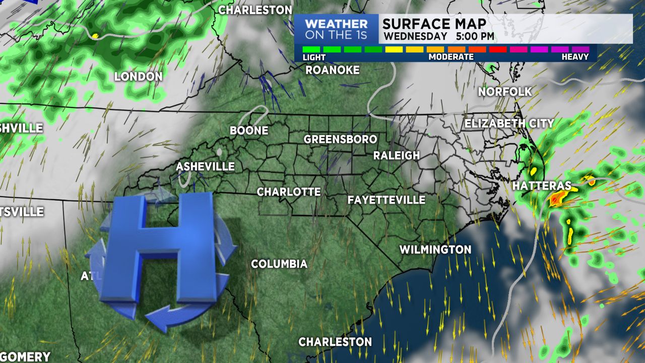
Sunshine will be returning Wednesday as high pressure moves east into the Atlantic. There will be a weak boundary early Thursday morning. But, not much expected from this front other than a few mountain sprinkles.
A stronger cold front will push across the area later Saturday and early Sunday. Rain chances appear solid. The mountains could see a bit of snow early Sunday with a few flurries through the day. The weekend cold front should unlock some of the coldest air yet this Fall season for early next week.
As of this posting, Thanksgiving weather trends looks cold, with increasing clouds and maybe some rain. Mind you, just trends for now; not a forecast.