


NORTH CAROLINA -- Look for another warm weekend for all of the southeast as high pressure stays anchored off the coast of the Carolinas with a southerly flow.
Fortunately, the humidity will not be nearly as high as last weekend, but we will be making a run for 80 degrees.
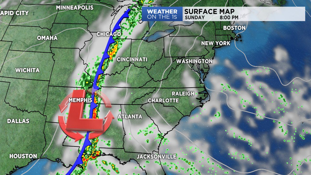
Rain chances start to go up late Sunday into Monday as a cold front and area of low pressure move in from the Mississippi valley.
Moderate to sometimes heavy showers will overspread NC from west to east into the early part of the workweek.
You may even hear a few rumbles of thunder as the cold front moves through.
The sky clears on Wednesday as high pressure builds into the region with below-average temperatures.